Topo services
|
Arcad Ingénierie
Topography●3D Scanning● Photogrammetry●Expertise
Two companies - two expertises
A wide range of services to cover all your needs in topography
Whether we're talking about traditional topographic surveying, georeferencing, network detection, 3D scanning, or photogrammetry, we are professionals who are ready to discuss your needs and find the most appropriate tools to best meet your mission, in Reunion Island, Mayotte and throughout the Indian Ocean.
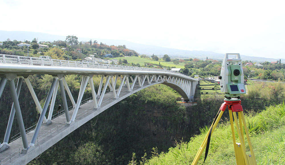
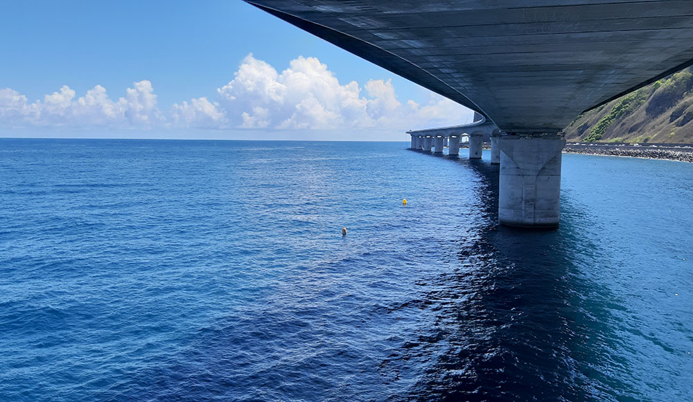
Contact us PDF PresentationRavine Fontaine Bridge on Reunion Island - Hervé Douris
Our services
Topography
Core of our business, the purpose of topography is to put on plan every objects and structures present on a land. Underground networks are also represented on plans thanks to network detection and georeferencing.
Find out more about it3d Scanning
The virtual representation of reality in the form of a point cloud opens up many perspectives in multiple domains. The 3D representation of objects provides a guarantee for the realization of a project.
Find out more about itPhotogrammetry
Photogrammetry allows the representation on a plan of all informations gathered by a photo sensor installed under a drone or helicopter.
Find out more about itExpertise
The art of proving and demonstrating through technology is our daily work.
Find out more about itSome of our projects
You will find below some projects we have the opportunity to carry out. For more information, please consult the dedicated pages for our various services or contact us directly.
Topography
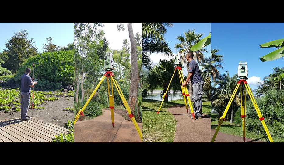
Mascarin Botanical Garden
Topographical survey of the Mascarin Botanical Garden.
-
Area of intervention
Mascarin Botanical Garden, St-Leu, Reunion Island
3D Scanning
Roland Garros Airport
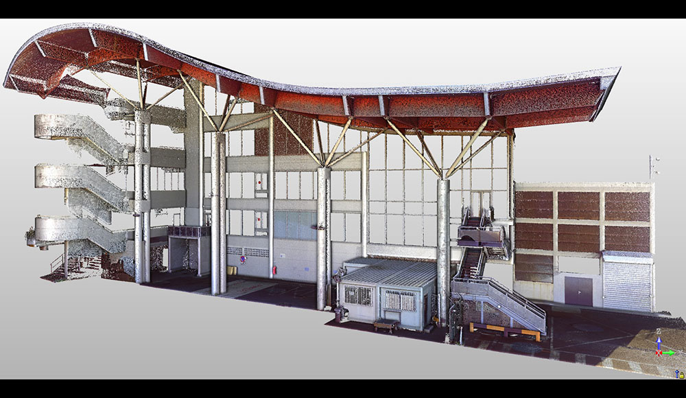
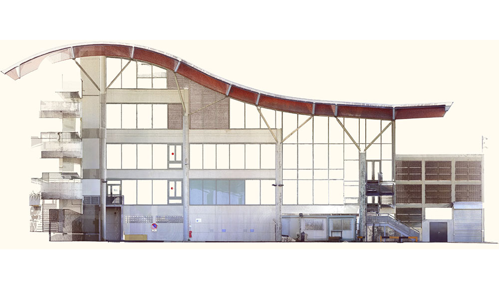
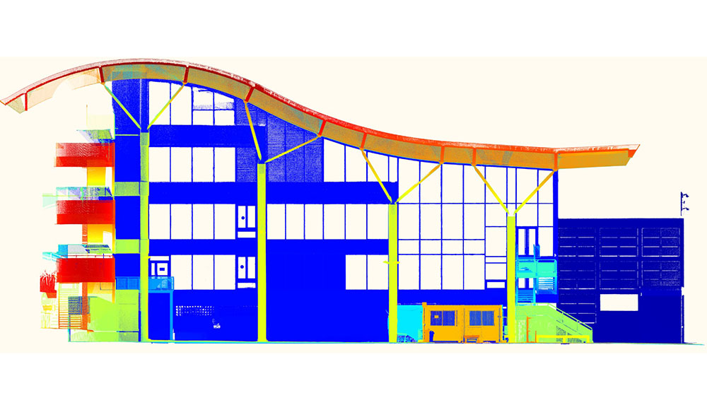
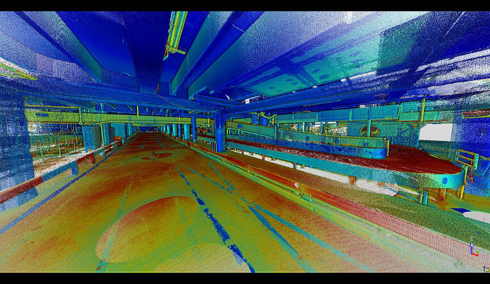
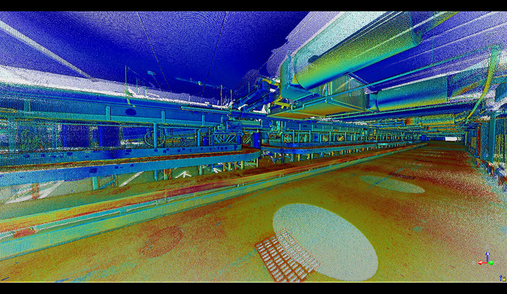
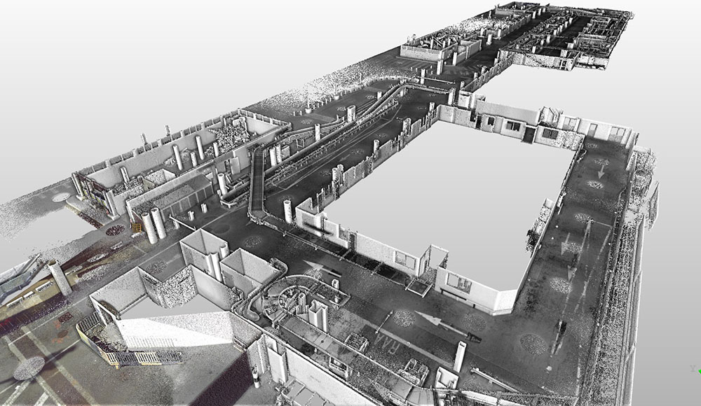
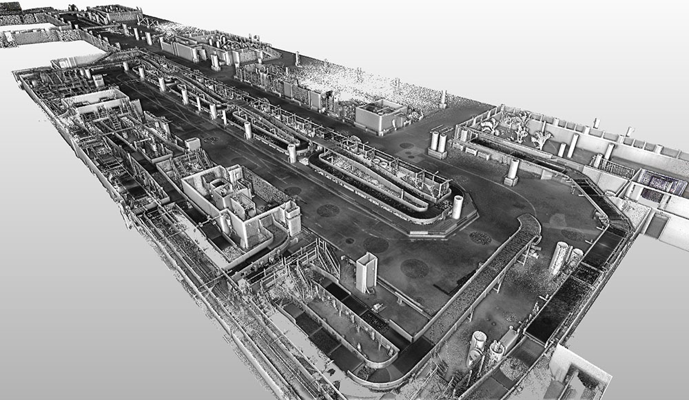
3D Scanning of the baggage claim and eastern and western façades of the airport, prior to a terminal extension.
-
Area of intervention
Sainte-Marie, Reunion Island
Photogrammetry
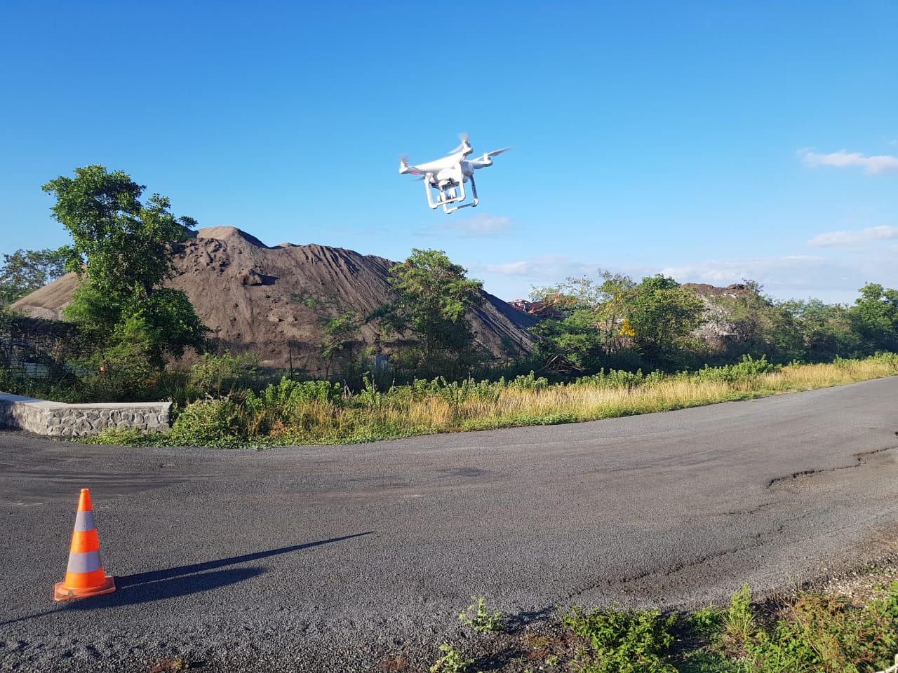
Drone survey for quarry site and cubic calculation
Using drones to save time on the field. This method is most relevant for areas with low vegetation.
Control points are materialized on ground with wooden crosses or targets and georeferenced with a GPS.
-
Area of intervention
St-Pierre, Reunion Island
Expertise
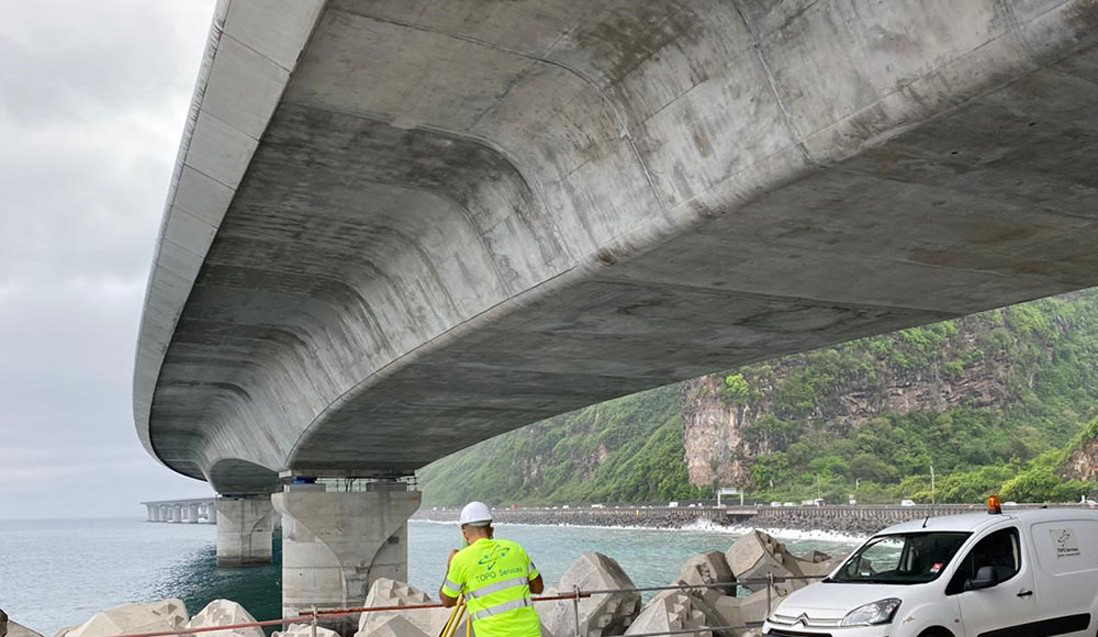
Structural monitoring of a bridge or structure
Survey prisms are placed on the structure to monitor its movement over time.
Measurements are taken with same reference, station position, and points at a defined frequency. Deviation from the zero state are provided to the client for further analysis.
-
Area of intervention
Reunion Island
Cookies use
This website uses Google Analytics cookies in order to measure this website trafic.
Measured data are anonymous and only concern our website. Do you accept their use during your navigation on our website ?
