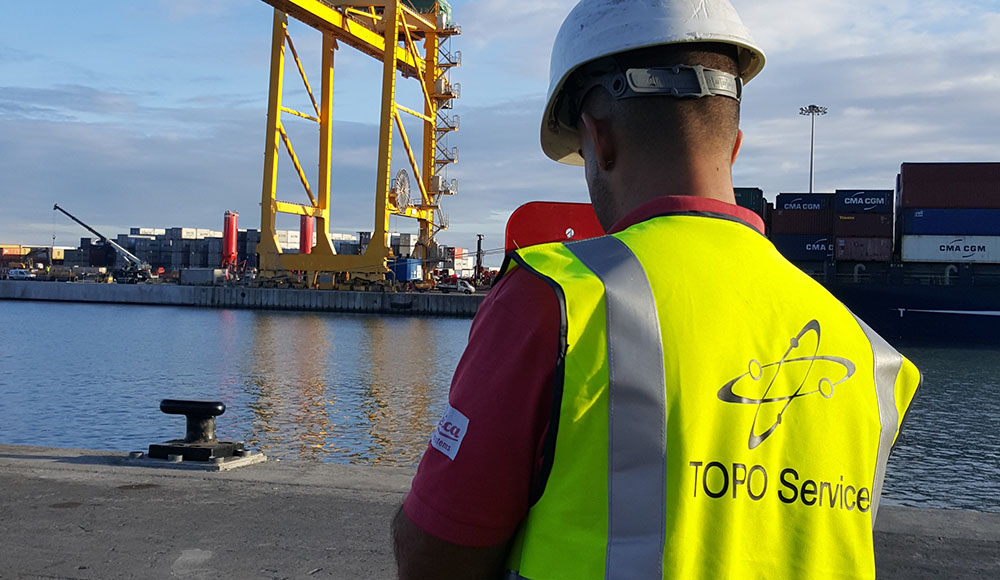
Topo Services
Your surveying team in Reunion Island
Well-known since 2003 for our expertise in topography and certified by Bureau Veritas in georeferencing and network detection since 2021, we can assist you in all types of topographical surveys, in Reunion Island and all across the Indian Ocean.
Equipped with high performance and regularly renewed tools and mastering a wide range of technologies, our team will know how to assist your projects and guarantee precise results whatsoever your projects.
Contact usWhat is topography ?
Topography is science which allows measurement on a land area and then the representation on a plan or map of all any visible details. These objects can be natural (trees, reliefs...) or man-made features (roads, buildings, road structures...). The goal is to define the planimetric (XY) and altimetric (Z) position of all points located in an area with a certain level of precision.
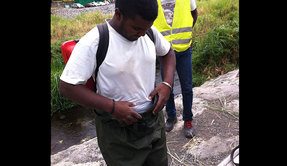
Core business of TOPO Services is topography : our team is composed of surveyors and topographers with different backgrounds, from baccalaureate to surveying engineer. Thanks to our diverse skills and tools, we can constraints/offer the best solutions suited to your needs.
For all types of projects, it is necessary to realise a topographic map of a land area. A high-quality survey will result in a better control of project costs, from the preliminary study to the project conclusion. Internal control at each step of the project through informations and collected data remains one of the priorities of our profession for ensuring the results reliability.
Continous technological advancement in topography has eventually led us to a quicker and more precise survey than before.
New technologies (robotic stations, drones, GPS, mobile mapping…) are tools only provided to the surveyor / topographer to help him conduct its mission. Those technologies will never replace the know-how and specific techniques used by the surveyor during his survey. Topography is a job in itself, no one can improvise himself as a surveyor. There are rules to obtain the required precisions with technical surveys to know and master.
Nowadays, surveyors / topographers conduct surveys on opened or closed trench networks. In the case of an as-built survey of an opened trench, the surveyor must be certified in georeferencing and in the case of closed trench, he must be certified in network detection. TOPO Service is certified by Bureau Veritas in network geo-referencing and network detection since 2021.
Pros and cons of traditional topography
Very precise measurements
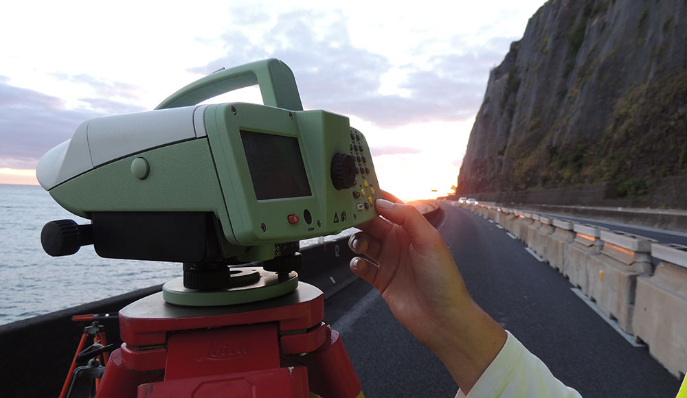
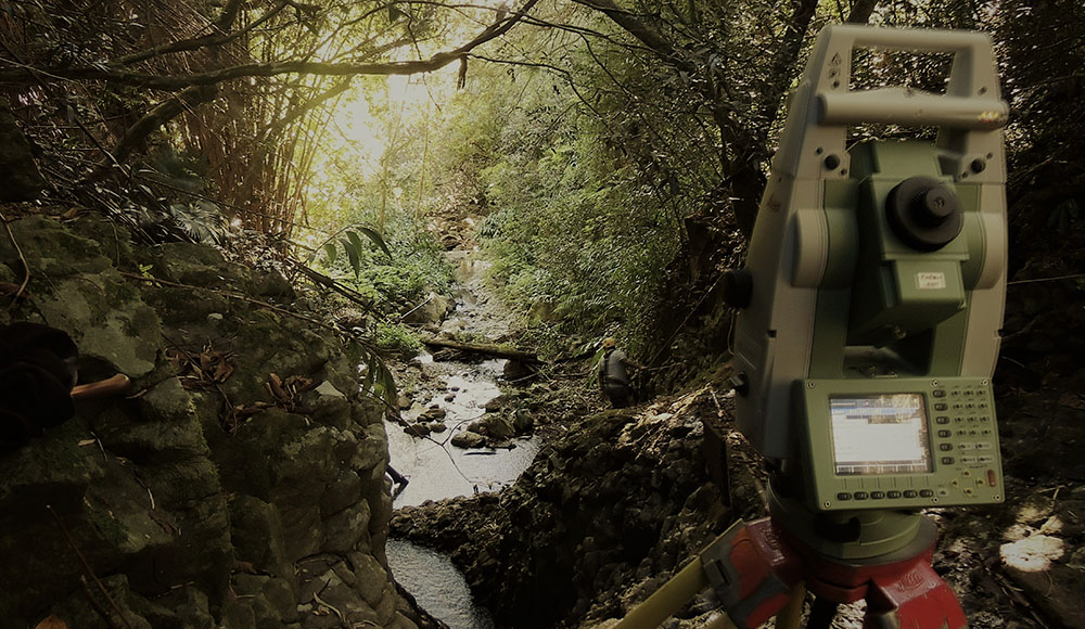
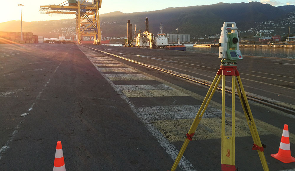
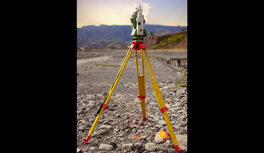
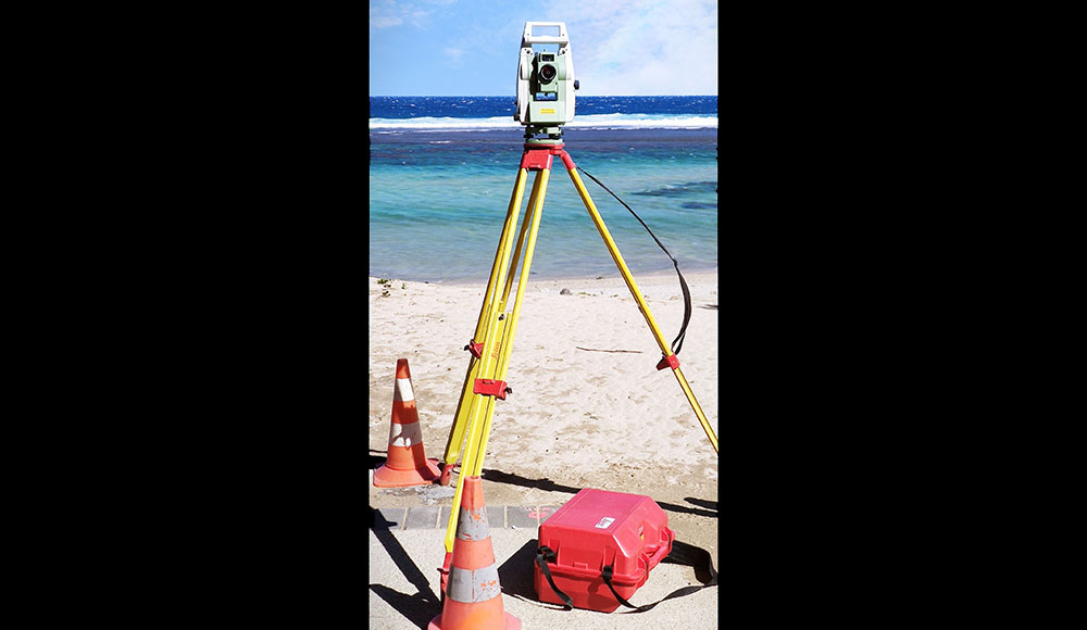
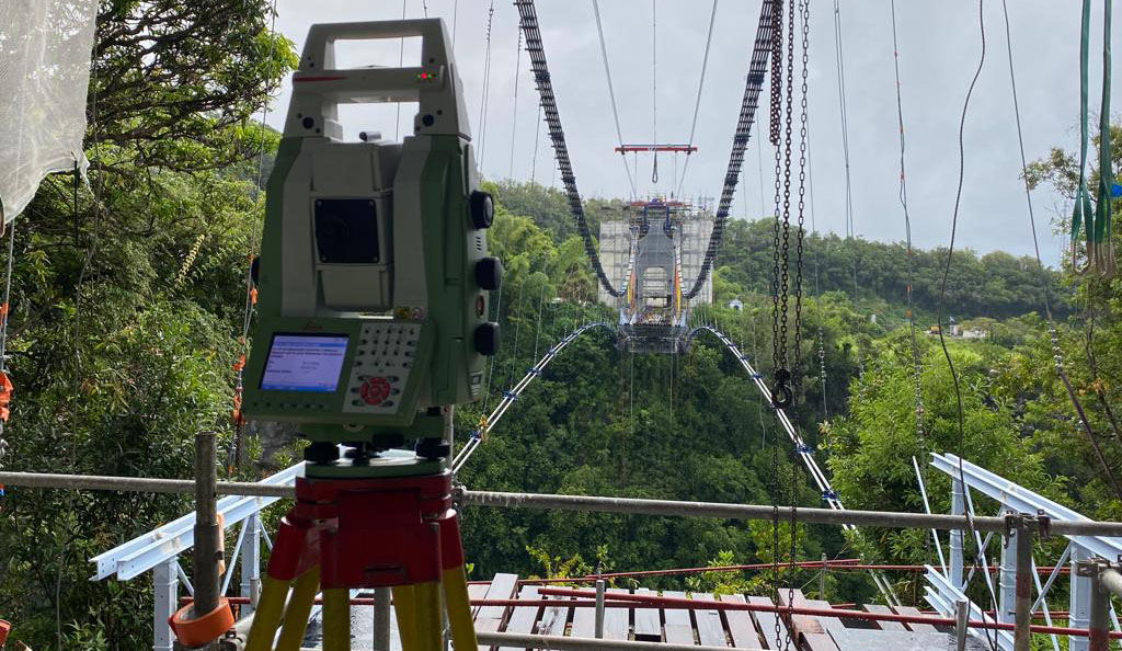
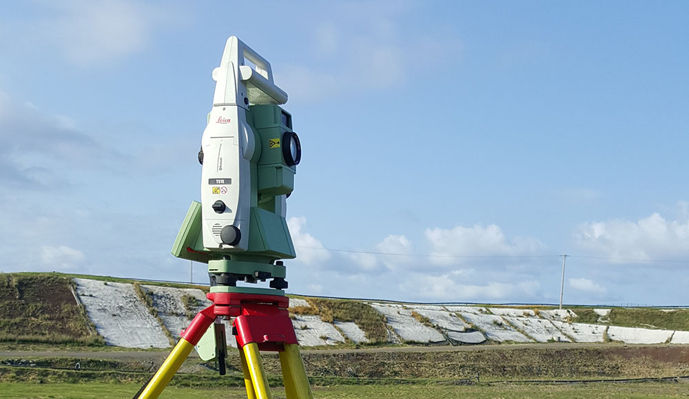
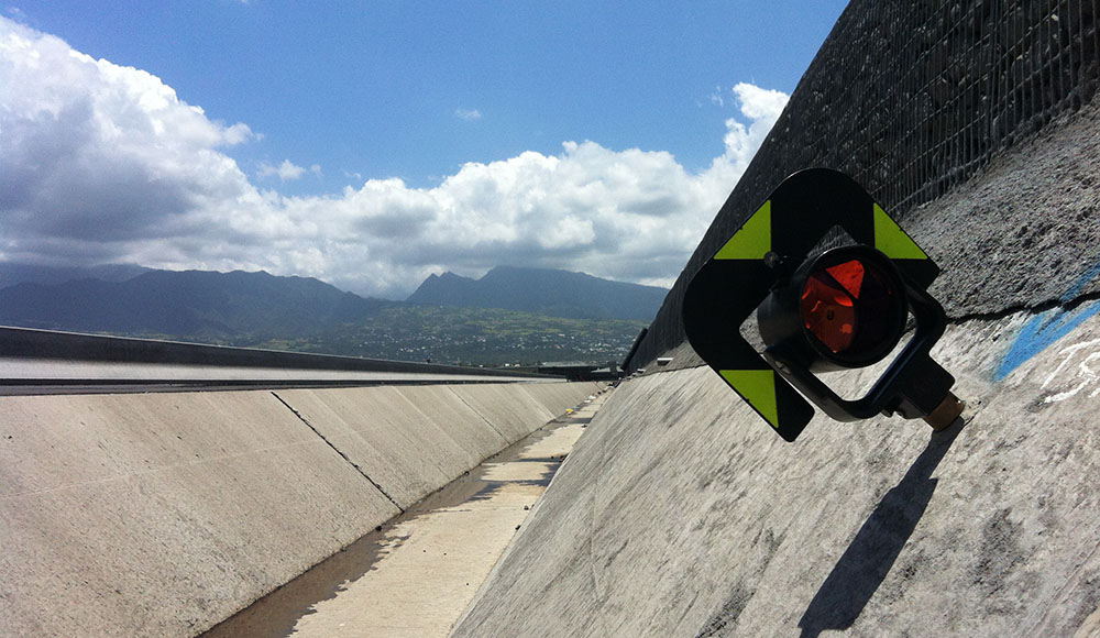
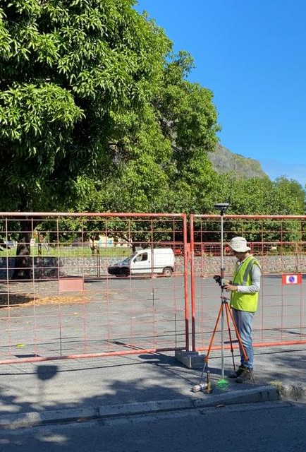
The main advantage of traditional topography techniques, with a technician and conventional equipment, is the ability to achieve very precise measurements below a millimeter. This traditional surveying equipment includes a total station and a precision level suitable for polygonal surveys, civil engineering, controls, leveling, expertises and topographic surveys.
Difficult set up depending on the survey area
As manual surveys, the main limit of this method resides in the surveyed area accessibility. Thanks to new surveying technologies, the use of drones will allow us to overcome this constraint, but it will bring other drawbacks.
Our technical equipment
The equipment provided to our teams is regularly renewed. Special attention is paid to the surveyors tools upgrade to best meet the needs of our clients. Our current tools are listed below :
-
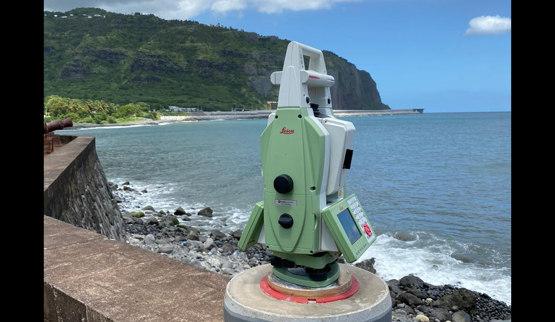
Six Leica theodolites
Two TS15 1', one TS15 5', one TS16 3', one MS50 1' and one TS60 0.5'
-
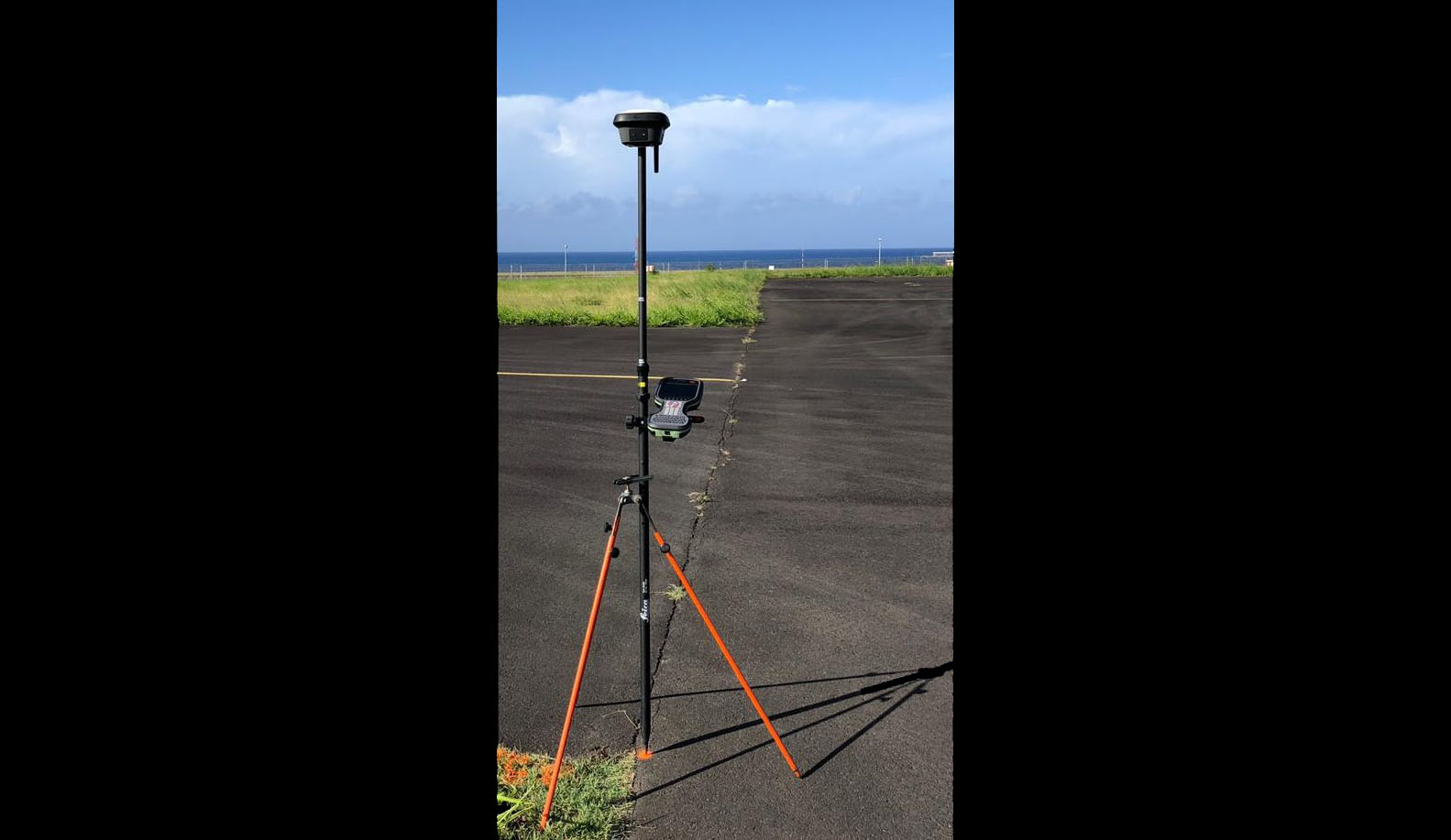
5 Leica GPS + 2 Leica GS10 and GS16 movable pivot
GS16 and GS18 models
-
Leveling tools
DNA03 electronical level with 2m invar staff and the adequate equipment for precision leveling
-
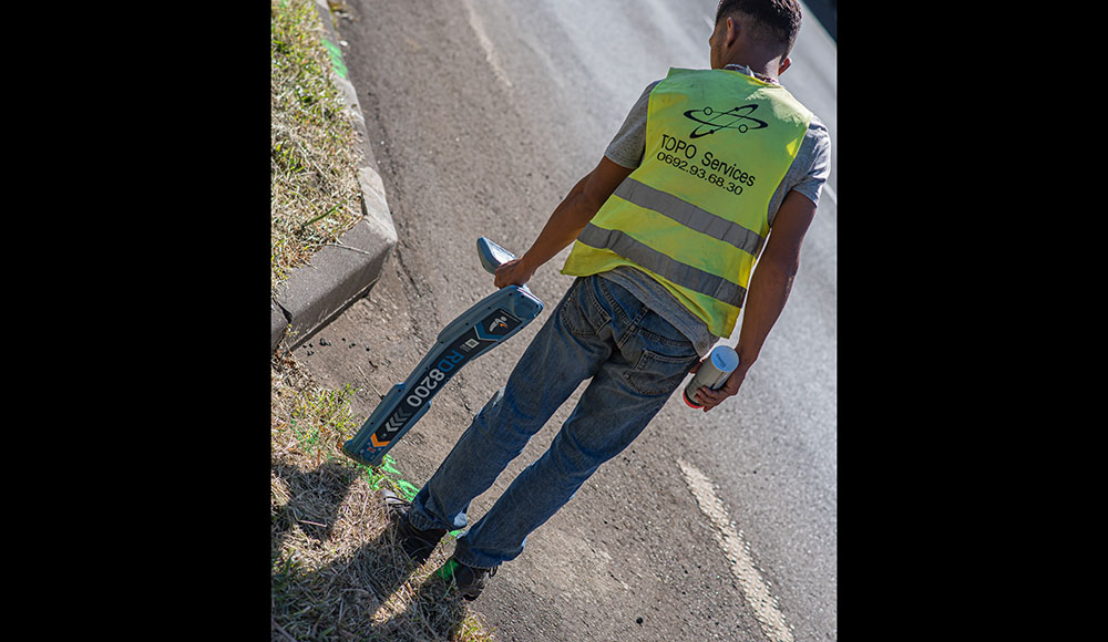
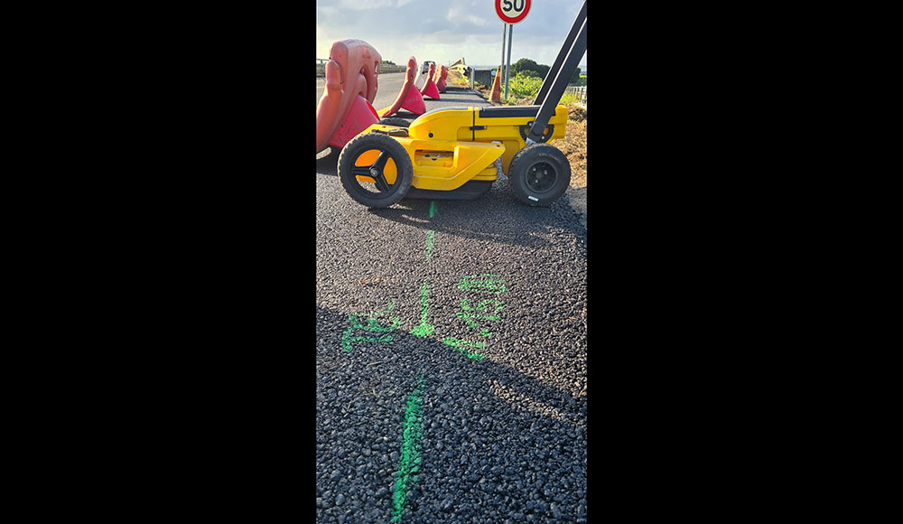
Detection tools
A RD8000 electromagnetic sensor and its TX10 generator and a VIVAX VLOC PRO3 LINK electromagnetic sensor
Some of our works

Topography
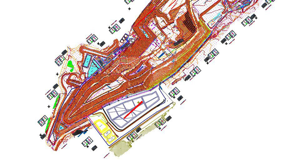
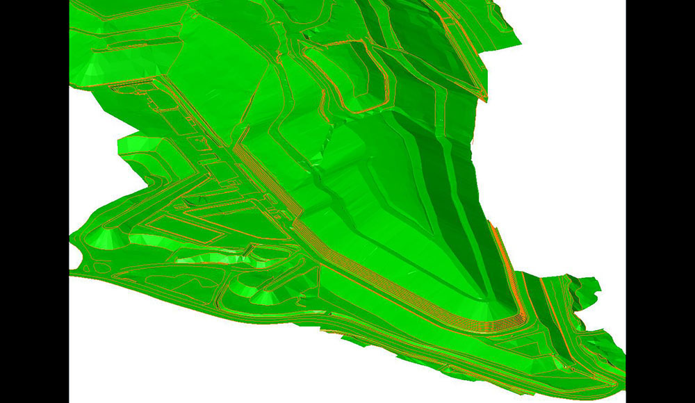
Topographical survey
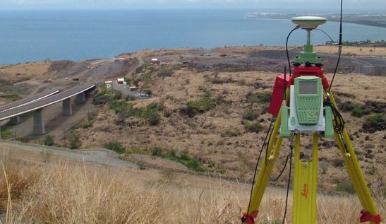
Survey conducted with the use of a GPS and a theodolite – Survey of the 55ha area updated annually.
Setting up of a polygonal traverse for the topographical survey of the area. This survey has been rendered as a topographical plan and a Digital Terrain Model based on 3d slope rupture lines.
-
Area of intervention
ISDND at Pierrefonds, in St-Pierre
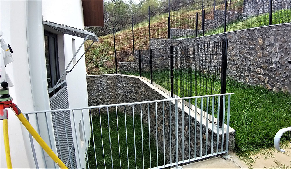
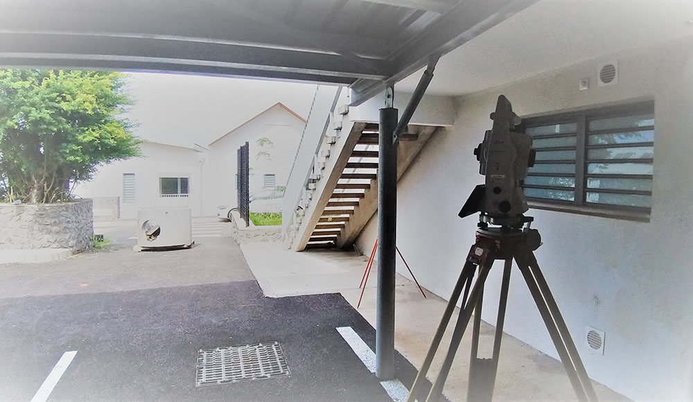
Topography
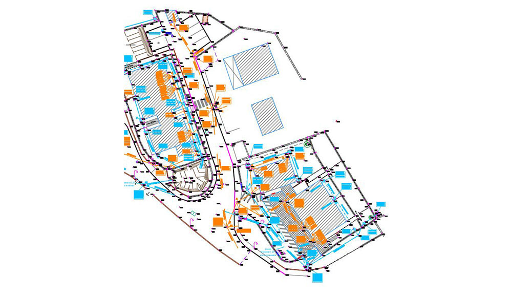
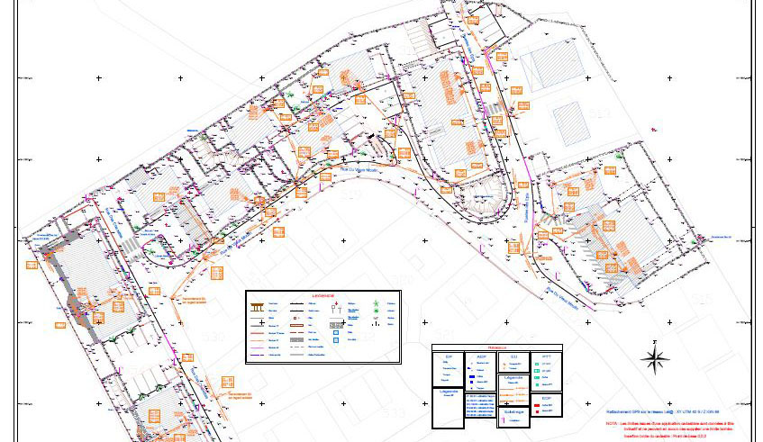
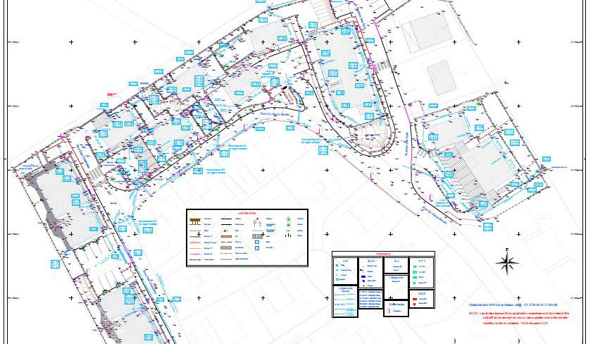
As-built survey of a housing development
The survey was conducted during works advancement to realize a complete general as-built drawing.
Topographical plan with separate layers for the sewage and rainwater networks.
-
Equipments used in this project
TS16 3’ and GPS
-
Area of intervention
La Saline-les-Bains
Reunion Island
Topography
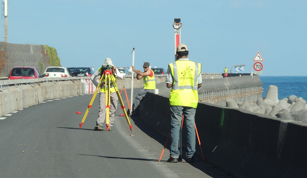
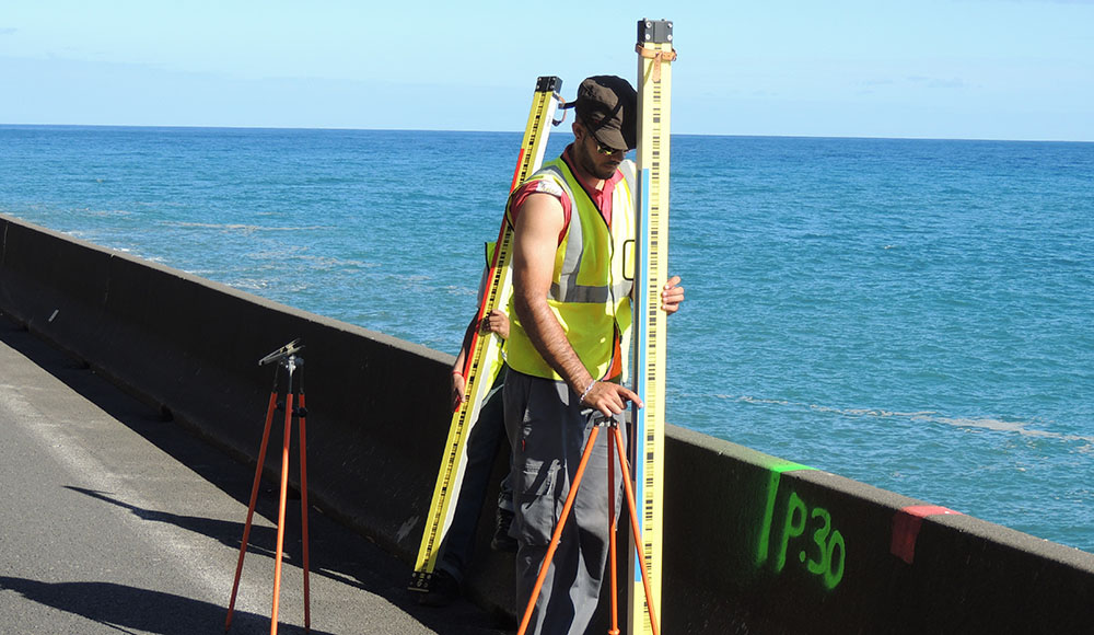
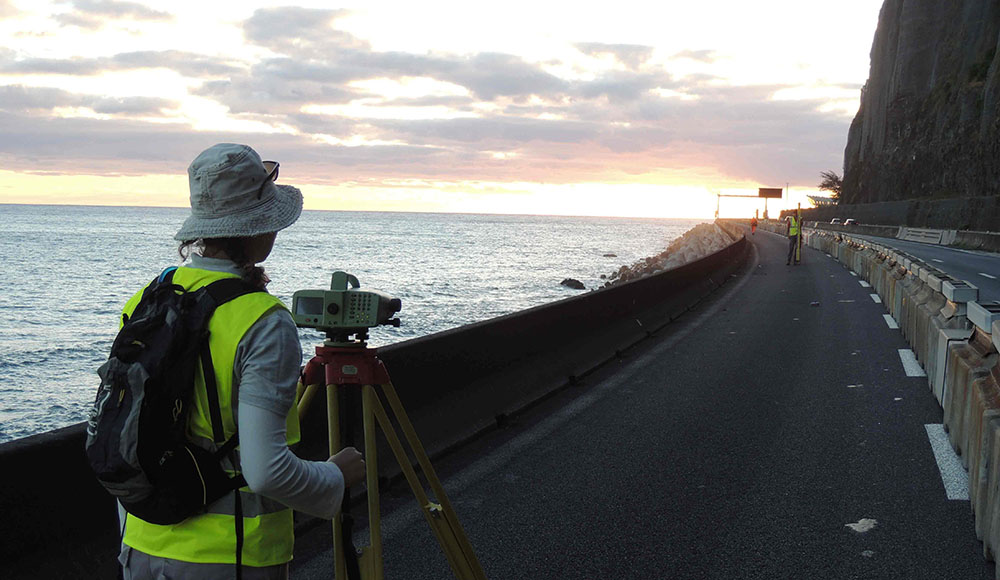
Precision leveling project
Double Chowlesky leveling with a precision level and two leveling rods on two parralel ways on RN1 emergency lane.
We spent three days conducting a 7 kms double-leveling with opening and closing of pathways on 5 leveling benchmarks. The results is in a form an excel spreadsheet showing altimetry of all surveyed points.
-
Area of intervention
Route du Littoral (NRL construction site)
-
Equipments used in this project
DNA03 and two 2m invar staffs + footplates
Topography
Polygonal traverse monitoring
As external monitors on specific projects, we are required to check out on the work done by the construction company. We may monitor stake out, polygonal traverse, etc.
-
Equipments used in this project
MS50 1’ with forced centering tools

Topography
Roland Garros Airport Project
Angular setting and accuracy implementation for solar-panels support frames.
-
Area of intervention
Sainte-Marie, Reunion Island
Cookies use
This website uses Google Analytics cookies in order to measure this website trafic.
Measured data are anonymous and only concern our website. Do you accept their use during your navigation on our website ?