Topo Services
Your photogrammetry expert in Reunion Island
Well-known for their aerial works and for the quality of their surveys, TOPO Services and its drone pilots assist you in your photogrammetry projects in Reunion Island and all across the Indian Ocean.
Please note that our equipment has been certified by the French Civil Aviation Authority since 2015.
Contact usWhat is photogrammetry ?
Photogrammetry is the science and technology used to obtain an accurate representation of an extended territory or object from a series of photographs. Photogrammetry can either be aerial or terrestrial. It allows to create topographical plans, digital terrain or surface models in some cases, georeferenced point clouds and orthophotos.
Formerly restricted to the military use, drone use is now accessible to numerous civil applications. In our field, drones are a tool of great efficiency, in photogrammetry in particular. Equipped with high-resolution cameras and image processing softwares, we are able to conduct the 3D modeling of spaces with centimeter level precision.
Drone use also allows us to avoid the use of cherry pickers for inaccessible areas. It is possible to film or shoot the object closely to examine roof damages or issues on inaccessible structures.
The processing of collected data allows us to create classified point clouds, orthophotos, digital surface models and in some cases digital terrain models. This method is very efficient, particularly for quarry surveys, as it saves us a lot of time. If the area is vegetation-free, we will then be able to create a digital terrain model.
In order to conduct a photogrammetry project and achieve the results needed by the client, we need to take into account several parameters :
-
Technical feasibility
Firstly, we need to evaluate the legal feasibility of the aerial survey project. Depending on this factor, the sensor can be embarked either under a drone, a helicopter or an ultra-light aircraft. The flight constraints are different for each type of aircraft.
-
Flight and recording parameters
Secondly and based on the clients objectives in terms of resolution and precision, we will define the flight and recording parameters of the project and report the intented flights to the authorities.
-
Photogrammetric processing
Finally, we will proceed to the photogrammetric processing of the photos and georeferencing of the model obtained using the methods employed by the land surveyors.
Pros and cons of photogrammetry
High survey accuracy
The orthophoto combines the precision of a plan and the high resolution of a photo.
Speed of data collection, respect for the surveyed site and security
Aerial survey allows the access of sensible, inaccessible, protected or dangerous areas and avoids any ecological impact on protected areas.
No view beyond what is visible
The main inconvenient of photogrammetry is that the resulting model is based on the information present on photos, thus on the surface above ground : if vegetation is present, nothing below it will be seen nor recorded. It is impossible with aerial photogrammetry alone to represent a digital terrain model : drone surveys data must be combined with ground data in order to ensure the reliability of the results.
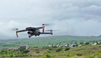
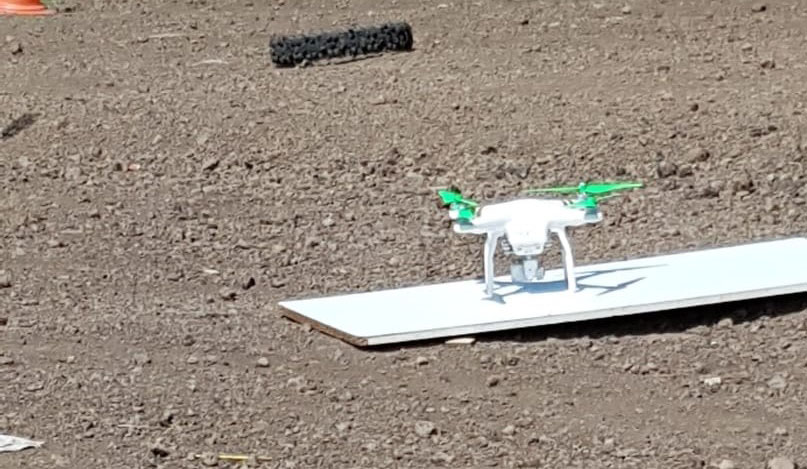
Our technical equipment
Our drones and sensors are renewed regularly to ensure that our surveyors always get access to the newest surveying tools on the market, in order to provide the most accurate results for our clients.
-
Drones
1 DJI Mavic 2 Pro and 1 DJI Phantom 3 Pro
-
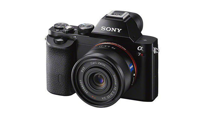
Camera
A SONY Alpha 7R for high-resolution shooting from an ultra-light aircraft or helicopter
Some of our projects
Photogrammetry
High-scale aerial survey
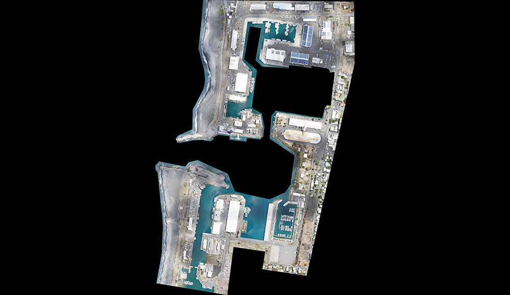
Photogrammetric survey of a large area (about 370 acres) for the Grand Port Maritime de La Réunion (major port of Reunion Island).
Aerial photo survey conducted with a photo sensor embarked under a helicopter. Ground control points were established throughout the worksite. Photogrammetric processing conducted with the Agisoft Metashape software. Model rendered as an orthophoto. 7 cm / pixel resolution on the ground, with a 5 cm precision.
The orthophoto was georeferenced to the coordinate system and intentionally degraded and cropped to ease its use. It can be exploited with SIG or AutoCAD softwares.
-
Area of intervention
East and West Port sections, Reunion Island
Photogrammetry
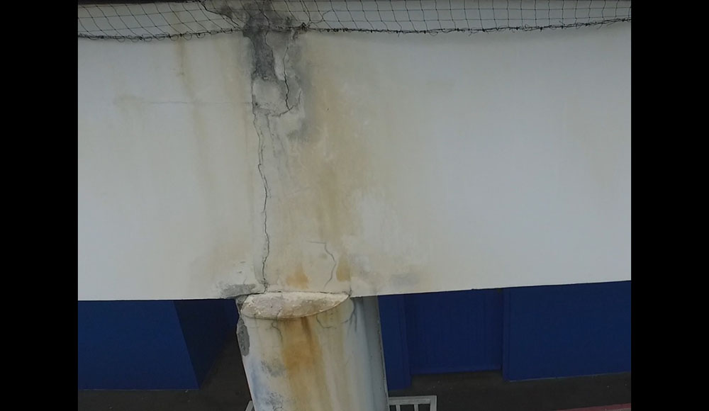
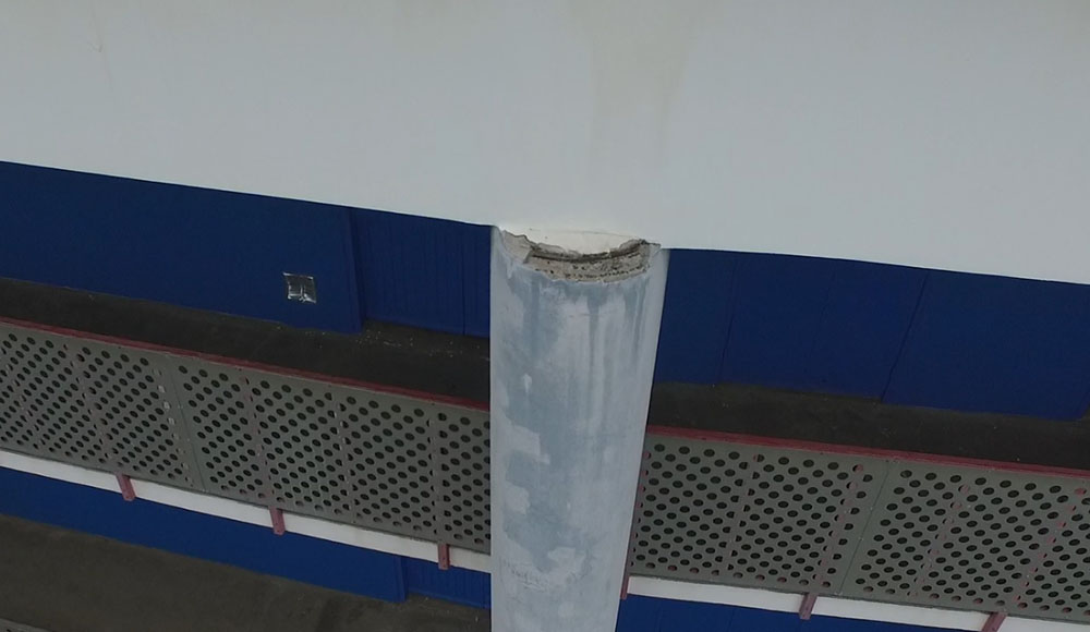
Monitoring of inaccessible roof defects
Close-up shots of inaccessible objects or areas without the use of a cherry picker.
Drone use is a great solution to get around any access constraint and to obtain high-quality photos in inaccessible areas, to highlight any unseen structural damage.
In our case, we took pictures of concrete pillars, allowing the project owner to identify defects and to take the necessary measures for everyone's safety.
-
Area of intervention
Reunion Island
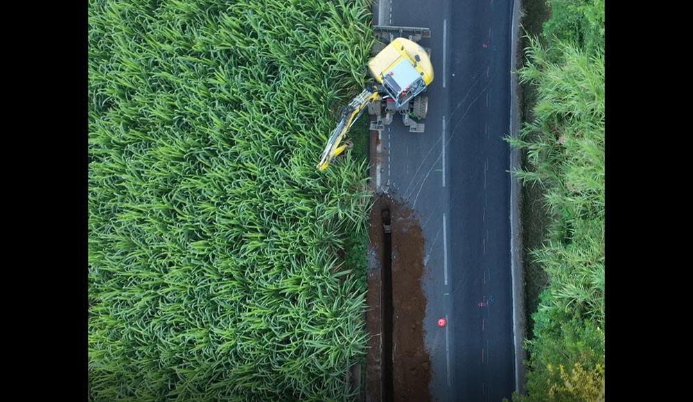
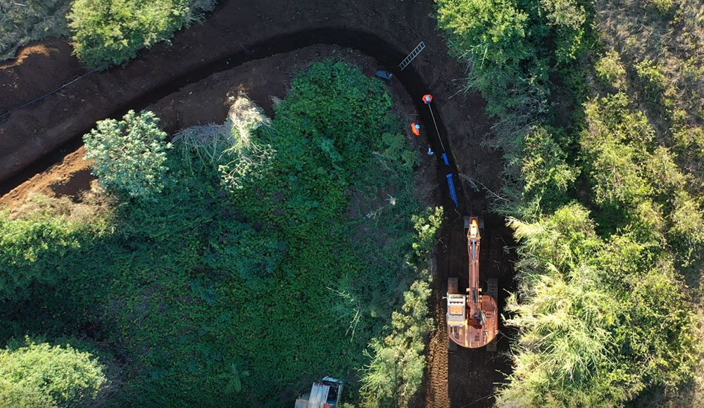
Photogrammetry
Work in progress monitoring
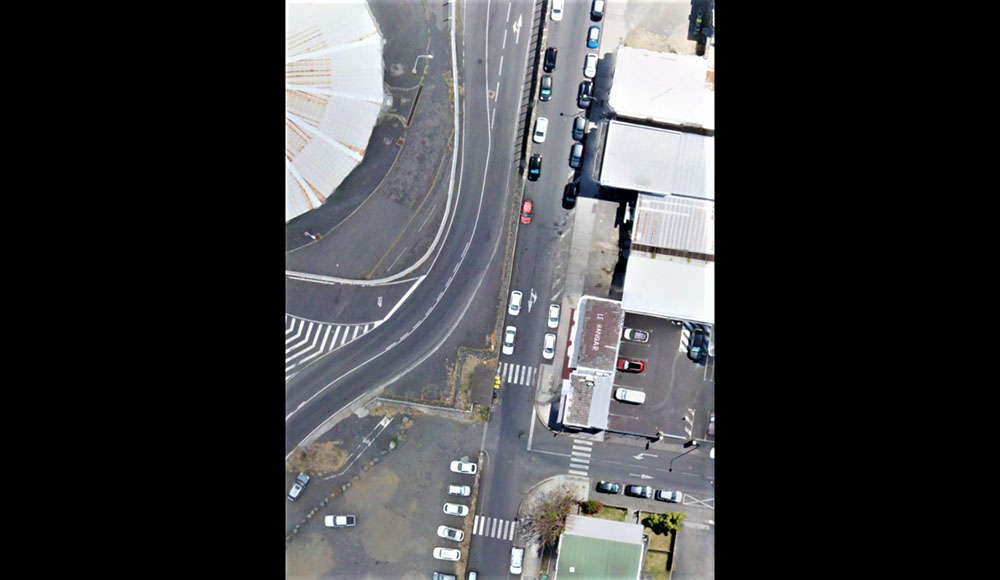
At the request of the project owner, we provide monthly video of the 3 kilometer pipeline construction site to monitor the project's progress over time.
-
Type of rendering
Compiled flight videos
Cookies use
This website uses Google Analytics cookies in order to measure this website trafic.
Measured data are anonymous and only concern our website. Do you accept their use during your navigation on our website ?